

Distance
Estimate sea-route distance between ports.
Maritime intelligence for a world in motion.
Chartering, freight intelligence, vessel visibility and maritime decision tools connected through one digital platform.
North Atlantic
Route active
Coordinates
53.55 N / 9.99 E
Sample speed
12.4 kn demo
Global movement
Dry bulk trade is a living system of vessels, ports, routes, weather, fuel, documents and counterparties. IBPortDash gives that movement a connected digital operating layer.
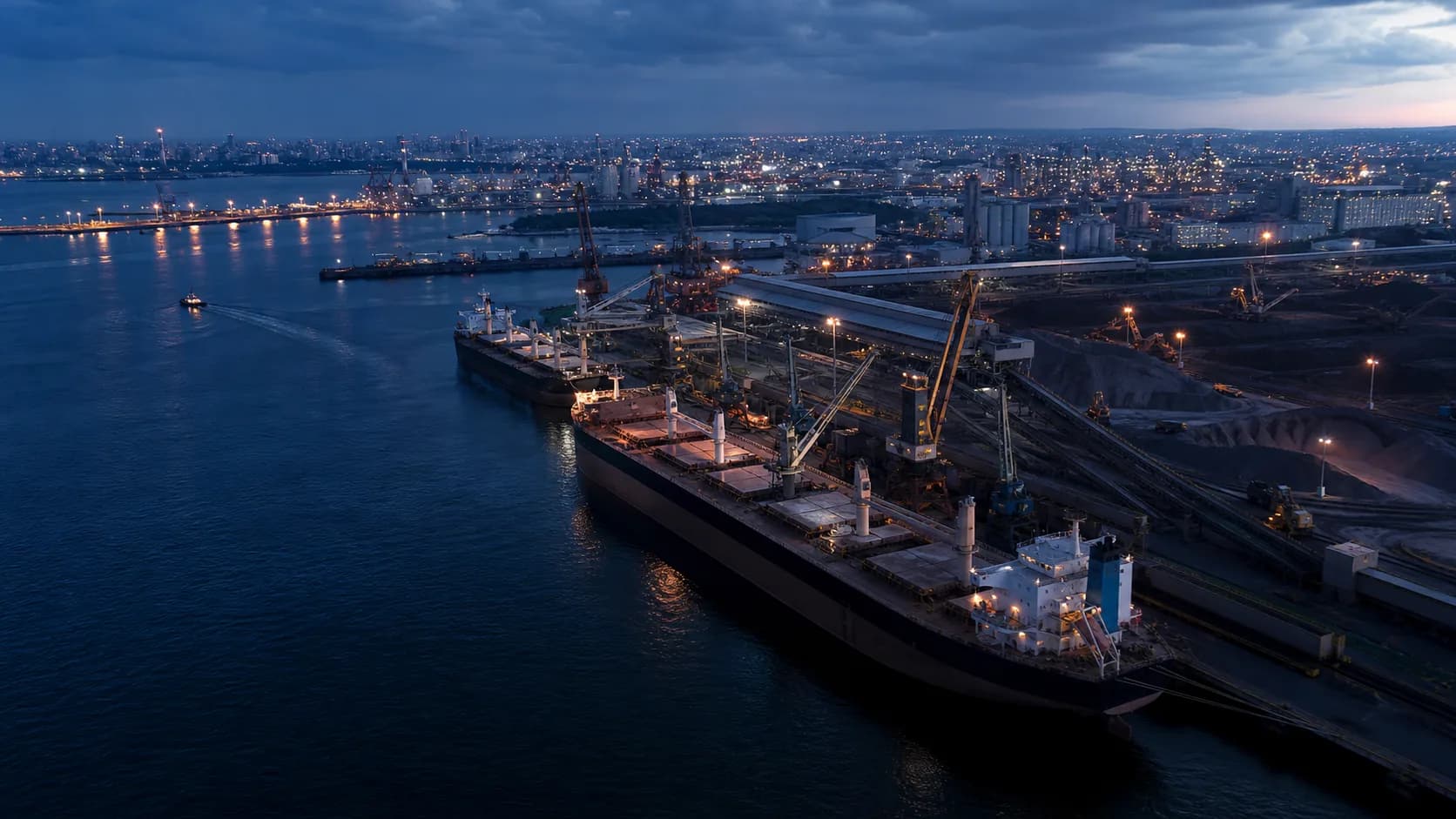
Maritime network
The platform connects verified cargo owners and ship operators with freight analytics, real-time maritime data and contract workflows, creating one shared context for global trade lanes.
Network layer
Illustrative route visualization. No live shipment data is represented.
Service system
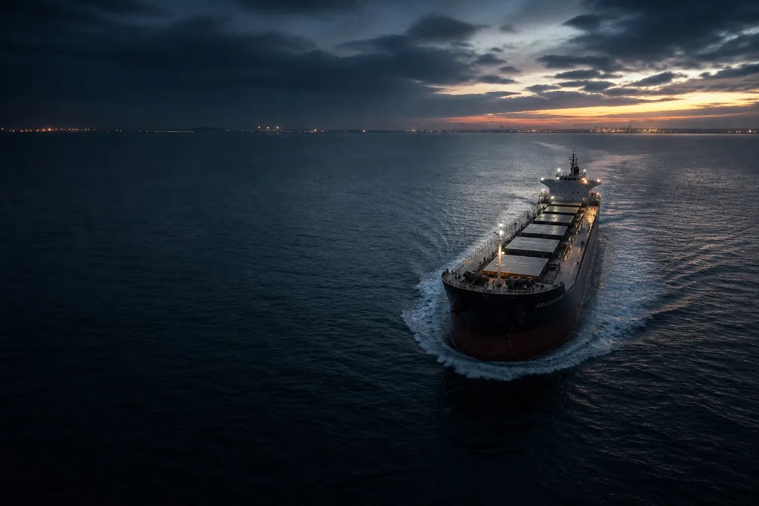
Before departure
Pre-vet counterparties, understand freight economics, negotiate digitally and carry the operating context into the voyage.
Marine instruments
Distance, bunker prices, weather, calculators, and position search are framed as operating instruments, not generic feature tiles.
Estimate sea-route distance between ports.
Prepare for fuel-market intelligence.
Plan voyages around marine conditions.
Freight, cargo, and chartering calculators.
Search dry cargo vessel openings and zones.
Route intelligence
Weather monitoring
Freight analytics
Counterparty intelligence
Understand the market
Scroll-driven product story
Define cargo movement, freight type, route context and operating constraints.
Evaluate vessel availability, market context and counterparty credibility before commitment.
Keep commercial terms and decision context in the same digital workspace.
Move from agreement to documentation with centralized contract visibility.
Follow route and status context as the voyage progresses.
Use freight, weather, distance and bunker context to make the next move sharper.
A neutral demonstration of tracking context. Live shipment APIs are not represented in this sprint.
Track a ShipmentMaritime reading
Editorial thinking on risk, real-time data and digital dry bulk chartering.

Sep 10, 2026 / Featured
Laytime is a critical part of commercial shipping. How efficiently the available laytime is used can directly affect demurrage exposure, voyage economics, and vessel performance.
Read article
Sep 10, 2026
Water density directly affects a vessel’s draft and cargo intake, particularly when the vessel is loaded close to its permitted draft.
Move global trade forward
info@ibportdash.ca / (+1) 778 246 0909